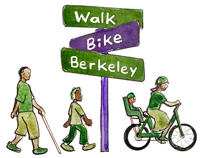
Plans for Improvement
There are many City and County plans to improve walking and biking in Berkeley. In addition to learning about the plans below, sign up for the Walk Bike Berkeley newsletter and the Bike East Bay newsletter. Bike East Bay also sends action alerts about Multimodal San Pablo Avenue and maintains a list of East Bay Biking, Walking, and Transit Surveys.
City of Berkeley Plans
Vision Zero Plan (adopted 3/10/2020)
Pedestrian Plan (adopted 1/26/2021)
Bike Plan (adopted 5/07/2017)
Five Year Paving Plan (adopted 11/28/2023)
Alameda County Plans
Other resources that may be useful when looking at and responding to plans:
Map of California Road System - Functional Classification: from Caltrans, this shows what streets are local, collector, arterial, and more
Traffic and Road Safety Glossary: learn terms and see local examples in this glossary created by Berkeleyside writer Jose Fermoso
California Active Transportation Safety Information Pages: a state-supported, non-commercial site dedicated to presenting the latest and most useful online resources to encourage and promote safety for pedestrians, bicyclists, and other non-motorized road users in California
Safe Transportation Research and Education Center: a program of the UC Berkeley School of Public Health and the Institute of Transportation Studies with an objective to prevent injuries from traffic crashes through projects encompassing research, training, public service, and policy.